HOT NEWS! I'm pleased to a announce the launch of a new YouTube channel called "Art of Virtual Flight",
with flight-simulator videos that are somewhat longer and more elaborate than most of the short clips featured in the early entries of this blog. Typically 1-2 mins long, from a number of scenes, with cuts matched to a musical score that I apply. I had edited video professionally for years – so, time to put that skill to good new uses!
A little down the line, I will open the channel to guest submissions; I'll post guidelines as soon as the direction of the channel is more established...
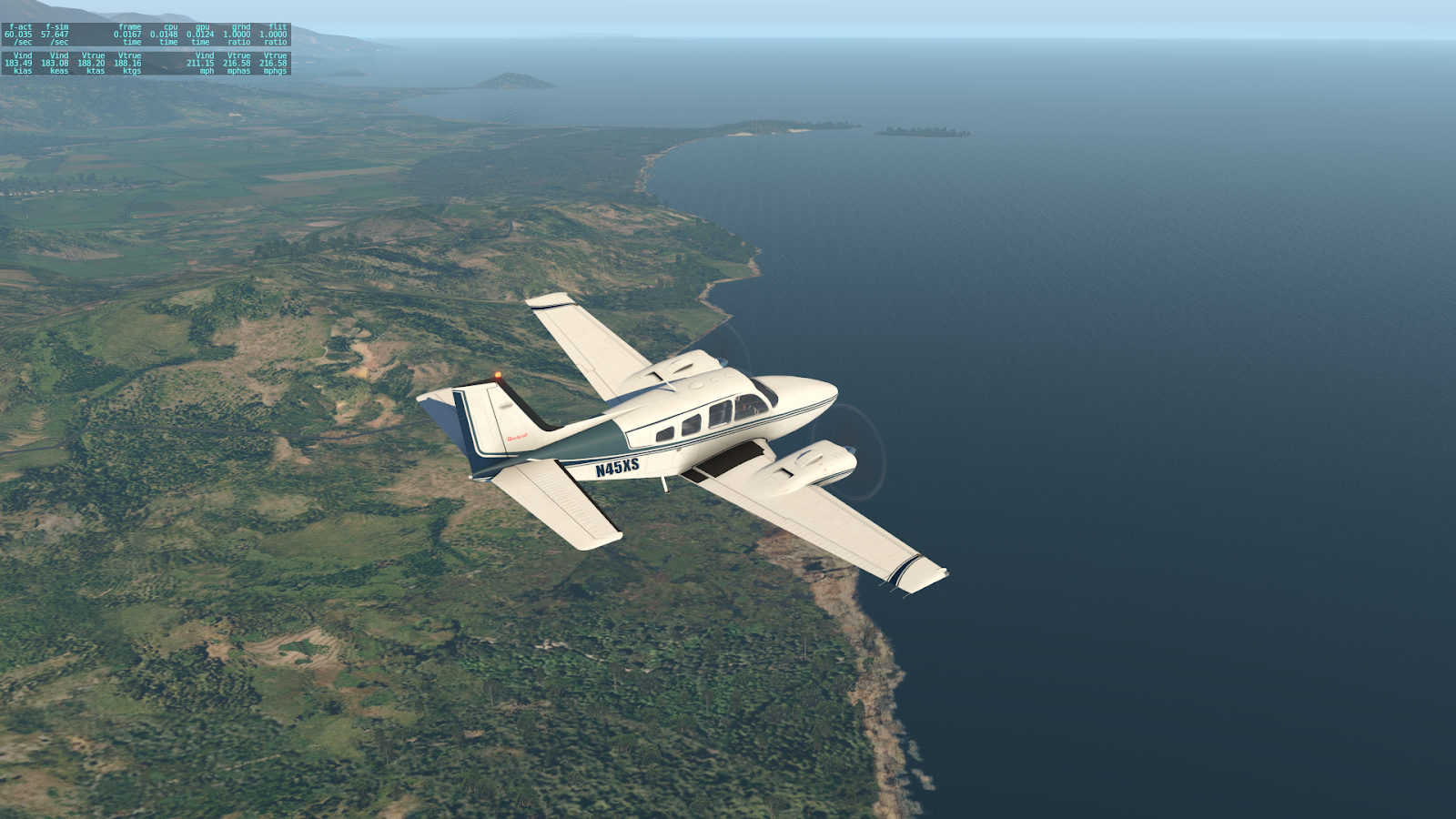
Heading Inland to the North Coast
Having reached the south coast of Dominican Republic after crossing southern Hispaniola in part 4, I turn north and slightly backtrack westward (into Haiti) to reach the north coast of the island, the 2nd largest one in the Caribbean.
For an overview of the journey, including the passage over the large southern lakes covered in part 4,
here's a video from the new YouTube channel:
Bahia de Neiba upon taking off from the town of Barahona, on the southern coast of the Dominican Republic
Pic la Selle is Haiti’s highest peak at 2,680 m (8,800 ft), and is located in Forêts des Pins (“pine forest.”) According to this source, “The surprising smell of fresh pine might motivate you to question whether you are actually in the Caribbean.”
Revisiting Lake Azuéi, first explored in Part 4, just crossing over back into Haiti
Crossing over Haiti's mountains on the way to the north coast (Map source)
Crossing the Montagnes Noires
Over Haitian mountains on the way to the north coast
In the Massif du Nord one finds the Citadelle Laferrière. With 40-meter high walls, it's one of the largest fortresses in the Americas. Built in the early 1800's by 20,000 men (source)
A guard house just outside the Citadelle Laferrière (source)
Also in the Massif du Nord (near the coast) is the Sans-Souci Palace, a 19th century Haitian version of the royal residence of Versailles. Here's a good pictorial article about it. Destroyed by a large earthquake. (source)
Approaching the north coast
The North Coast of Haiti
Finally reached the north coast! Just west of Cap-Haïtien
Rounding the Baie de l'Acul, on the way to land in Cap-Haïtien
"Divine Potatoes" is my nickname for a fabulous vegetarian dish - reminiscent of samosa filling - that my equally-fabulous housemate Palak can, to my surprise, whip out with amazing ease... a dish for which she says there's no name. Hence my nickname! I think it deserves a "Michelin star"! (a prestigious culinary award.) Do we dare to re-create it? Fasten your seat-belts, and let's jump in! SHORT VERSION : boiled potatoes with Indian-style gravy. LONG VERSION : the full recipe is 1,862 pages long, and requires a 10-year apprenticeship to master, but here's an executive summary :) The following recipe is scaled for smallish portions for 6 people . ------------------- TRACK 1 (start here, because it takes longer) - the POTATOES . 3 or 4 medium (Russet) potatoes. Peel and slice into small-ish cubes; put into water and boil until moderately soft. Then drain the water with a colander. ------------------- PARALLEL TRACK 2 ...
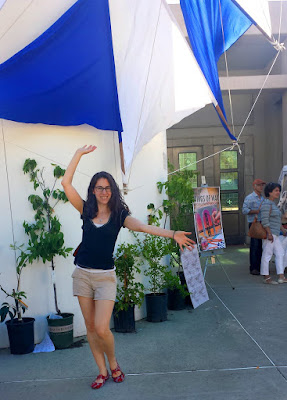
[UPDATED APR. 2025] A lot of my friends express amazement at the various festivals I take them to. How do I know about them? Some are obscure and yet absolutely incredible! Well, it has been a process of exploration over the years... All the photos here are casual snapshots or video stills taken by me. BEST FESTIVAL AWARD - The Greek Festival in the Oakland hills This festival brings out happiness, as evidenced by my friend Andrea In May . The awesome views of the Bay from the top of the Oakland hills complement the yummy food, the dance shows, arts, crafts, clothing, jewelry, history, music, architecture, participatory folk dance, etc. The event takes place on a plaza surrounding a Greek Orthodox church; some of it is outdoors, and some indoors. The admission fee is very modest ($6 , or $5 in advance.) The food tends to be a tad better on Saturday; if you go on Sunday, don't wait too late, because many food items run out....


Comments
Post a Comment